MOUNT ROBSON
T3v
GOLD RUSH BUG BROUGHT TO A SATISFYING END AT HIGHEST PEAK
By PETER THOMAS BUSCH
W
hen one has been stricken with the malady of having run out of options, with no or few alternatives, the road trip is one remedy that almost always cures what hurts, especially logging the journey in the history books in early September before the seasons change.
The gold rush trail has a west branch and an east branch north from Vancouver, Canada.
The west branch follows the Sea to Sky Highway passed Whistler and into Pemberton and then through Lillooet to a Highway Junction in Ashcroft. The east branch takes you out of Vancouver into Hope and the Fraser Canyon until reaching that junction in Ashcroft.
Either way, your luck has pretty much run out because the gold has long been scooped up by hand right out of the river by prospectors that made their way up the gold coast from as far south as San Francisco, and just kept on going north as the gold finds dried up and stopped coming so easy.
Gold prospecting still occurs on an individual level with the price of gold bullion rising to the point that mustering about an old mining shaft and doing as little as sifting through the tailings becomes mildly profitable. The idea becomes golden in the sunrise and sunsets of the natural historic landscapes, if for no other reason, than the experience of the adventure is irreplaceable.
When the San Francisco gold dried up, the gold bug pulled the prospectors further north into Oregon and then Seattle, and then onward to Pemberton and on toward Alaska.
When the easy prospecting gold was taken for good, the resource industry blew paper gold through a relentless boom and bust cycle all along the Pacific Northwest into British Columbia, Canada. The towns sprung up here and there, but the population footprints continued to be dwarfed by the wild uninhabitable land. The big international resource corporations creamed out the most profitable mines and the easy money out of the old growth forests.
Now the gold still runs but only the kind that makes the pay machines ring like the cash registers once did. Tourism has kept going in fits and starts one hundred years after the gold dust trails were replaced by government paved highways.
GETTING OUT OF TOWN
Getting out of Vancouver is the most challenging psychologically, especially for those drivers who choose the road trip out of a love for driving. Decompression does occur eventually, but only after the source of the stress and tensions falls far away into the rearview mirror.
So, choosing the eastward way and getting stuck bumper to bumper from Vancouver to Hope becomes some sort of metaphysical traffic jam.
Heading northwest at the wrong time may not be any more streaming, although if the traffic volume is low, the drive along the Sea to Sky Highway can be aesthetically spectacular and physically thrilling with the highway being safe but challenging for those adventurers who like to merge with the machine and the landscape.
THE COQ OR THE CANYON
Choosing to go eastbound creates a secondary choice at Hope where people can follow the second arm of the gold rush trail into the Fraser Canyon or take the modern Coquihalla Highway.
The Coquihalla is so tempting because the highway is quicker and safer with extra lanes and extra wide lanes the entire stretch. But the section is a constant uphill climb for a couple of hours in real time. If you are not in a hurry, the Coquihalla is a lot nicer on the way home, all downhill.
FRASER CANYON
I took the Fraser Canyon because I like going through the concrete tunnels engineered to keep the route open when the canyon highway was the only way north, before the Coquihalla was built.
I also like driving through the canyon with the mighty Fraser River on one side or the other.
Hells Gate is an area along the river with high rapids in a deep rock canyon where the tourists can scare themselves in a raft on the white water or scare themselves in the tram above the more adventurous rafters.
The tourist industry footprint is small enough to miss the significance at Hells Gate. So, you kind of have to know the natural attraction is there and put Hell’s Gate in your planner as at least a place to stop along the way, to get out of the car, and stretch your legs.
The road trip is just getting started here, and you might not need a rest, but if you go by without stopping, you might regret not taking a break two hours later when your hamstrings begin to tighten up from sitting in the car for three hours since leaving Vancouver.
And to give you the heads up, the drive here is through timbered land and rarely shows off the gigantic river canyon and the ranch lands growing hay and alfalfa for the horses and cows.
One benefit of heading north is that the restaurants serve tastier beef, with hamburgers and steak dinners having been made from home grown cattle fed from the feed that grows on the benchlands high above the riverbanks of the mighty Fraser.
ASHCROFT
One interesting point, even if you do not stop and look around off the highway, is that the landscape changes from the secluded canyon drive to a wider open stretch through the forests to a band of arid deserts lined with silver sage and tumble weeds.
WILLIAMS LAKE
I headed to Williams Lake, as the first stage of the road trip, having made my way north before, perhaps more than a dozen times, including as a child with the family heading to Kelowna through the canyon, before the Coquihalla was built, my two brothers and I fit into the back seat of a VW Bug, with my mom and dad in the front seats. Eventually the family moved on and upgraded to a VW Van for these trips.
You can have a good breakfast and not need to eat until getting to Williams Lake. But after five plus hours of driving, you are pretty ready to drink and eat pulling into this larger urban center within a resource town economy.
No secret, the beef is good here, since I already told you so, and if you are lucky the restaurants might be serving elk or buffalo. And almost always, a microbrewery is on tap.
Please don’t drink and drive, though.
I manage this part of the road trip by ordering a pint on tap right away, and only ordering one for the entire meal, but also getting a nice dinner in my empty belly and then switching over to the fresh British Columbia tap water. I do not get up to leave until I am certain I can drive safely.
I also stayed in Williams Lake for the night. So, I only had to drive a few kilometers from the restaurant to the hotel, making the way to the room in just a few minutes, before any fatigue became an issue for my safe driving badge.
This meal was much welcomed after developing an appetite driving past many bordered up restaurants easily noticeable on the roadside at various small highway towns.
CARIBOO HIGHWAY
The Fraser Canyon route is on a decent highway that provides safe and easy driving in the summer on sunny dry days.
North of Williams Lake, the Caribou Highway is even nicer, having been upgraded to a more modern standard. The drive to Prince George through Quesnel is nice and easy along the Caribou.
PRINCE GEORGE
If you have lots of time, you can use Prince George as a layover. The major hotel chains have renovated properties in downtown Prince George and there are also recently built new rooming stalk closer to the highway.
If you are not from British Columbia, Williams Lake already has the big box stores and large grocery franchises. Prince George has substantially more shopping opportunities and services as a major transportation hub, servicing commercial travelers and tourists heading in all directions.
One thing to know is that there are a lot of semi-tractor trailer trucks on the highway in every direction hauling goods. As well, drivers will notice the flat bed trucks hauling pipe, three short sections at a time, for the gas pipeline under construction.
Another type of vehicle is the extra wide flatbed truck hauling a manufactured home or work crew cabin to a new site. Unfortunately, for peace and tranquility, a lot of these heavy trucks come through the Rockies, hauling back and forth between British Columbia and Alberta, and perhaps even Saskatchewan.
Stay off the yellow dividing line to avoid being clipped by oncoming traffic.
If you have to drive at night, be aware of the risk of wildlife on the road getting stuck in your headlights. The animals come out at night for various reasons, probably to avoid the noise of the big trucks and tourist campers and RV traffic that can be heard by them and be quite frightening to them during the day.
Moose, deer and bear are substantially sized creatures of the earth that can damage your car. There are various theories as to what is better to do when confronted by such a scenario, of coming up on a substantial animal in the middle of the road. Apart from not getting out of the car, drivers should research and plan about the best driving maneuver in this high speed hazard situation.
KEEP GOING OR TURN AROUND
Prince George offers a layover to consider whether or not to keep going north, or to turn around before the driving limit for the day is reached, because you more than likely have to get home for the next workday, eventually.
NON-STOP TO VALEMOUNT
I chose to head toward Valemount, situated on the British Columbia side of the Great Canadian Rockies. This decision meant turning eastward, but in a subtle southerly direction back to Vancouver.
JASPER NO GO
In a normal year, Valemount provides a nice layover near Jasper National Park in Alberta. Valemount has a nice rocky mountain town charm, with enough breathtaking landscapes to make the sunsets and sunrises particularly beautiful.
Downtown Valemount is a one road strip with a grocer store and hardware store to stock up the RV. If you decide to travel in an RV, there are many campgrounds in this area and all along the Canadian Rocky Mountain chain of small resource aka (also known as) tourist towns.
Valemount has at least two substantial restaurants to replenish your body, and a pizzeria, with micro brewery lager on tap.
The cargo trains still come through Valemount.
Unfortunately, a wildfire destroyed large sections of the Jasper town center and the national park backcountry earlier this summer. Town residents and park rangers are still picking up the pieces, after being evacuated, and now returning to view the damage. Travelers can drive through but they are not permitted to stop, other than to use the restrooms.
MOUNT ROBSON PROVINCIAL PARK
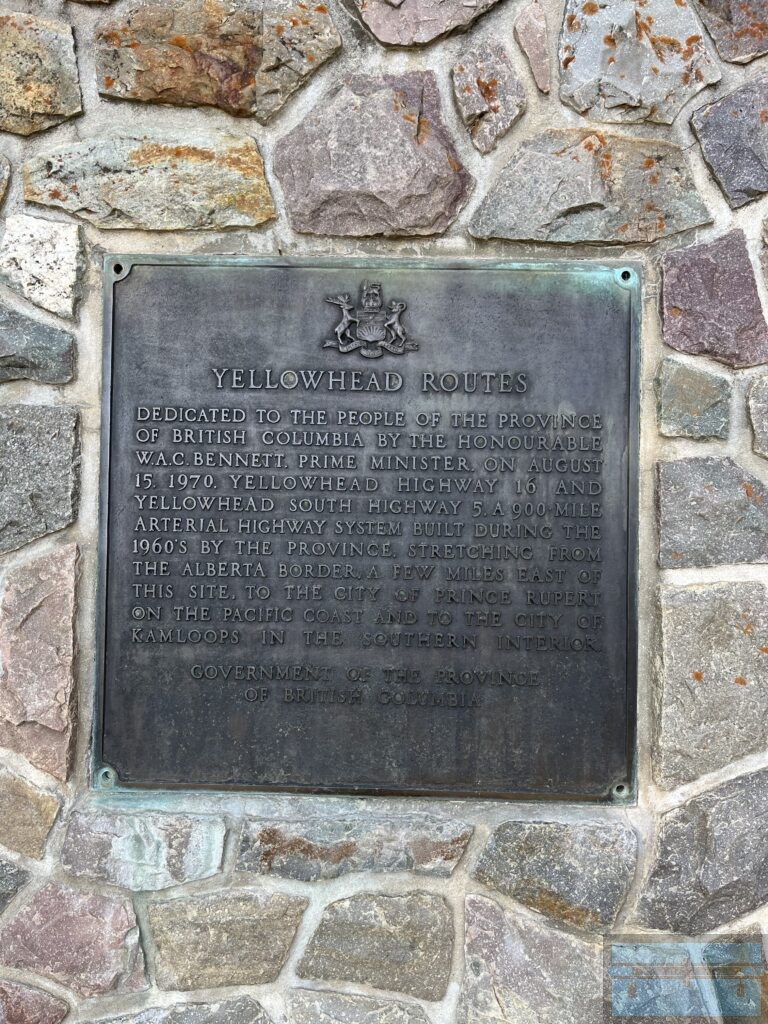
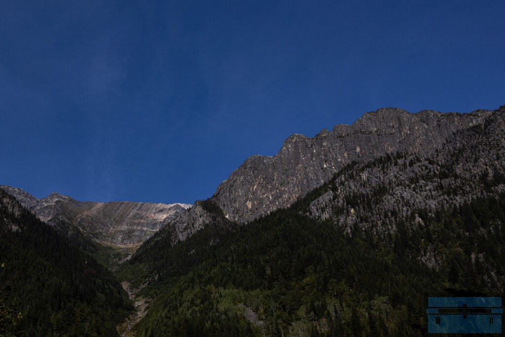
Mount Robson Provincial Park on the British Columbia side of the Canadian Rocky Mountains is a breathtaking stop along Yellowhead Highway 16 toward Jasper.
Unfortunately, a massive flood destroyed substantial portions of the trail and visitor system a couple of years ago in 2021. British Columbia park rangers are still restoring the entire 23 kilometer Berg Lake Trail, with the last section of restoration to be completed this year.
Mount Robson Provincial Park provides a manicured trail system with backcountry camping areas that, when fully restored, offer a 23 kilometer, 2 day journey.
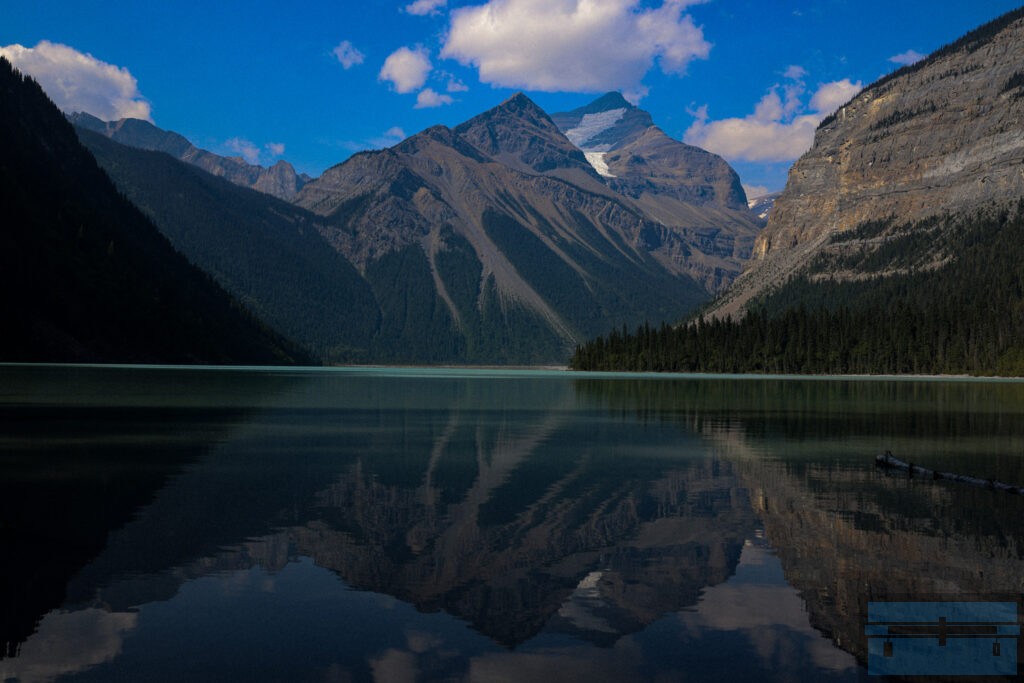
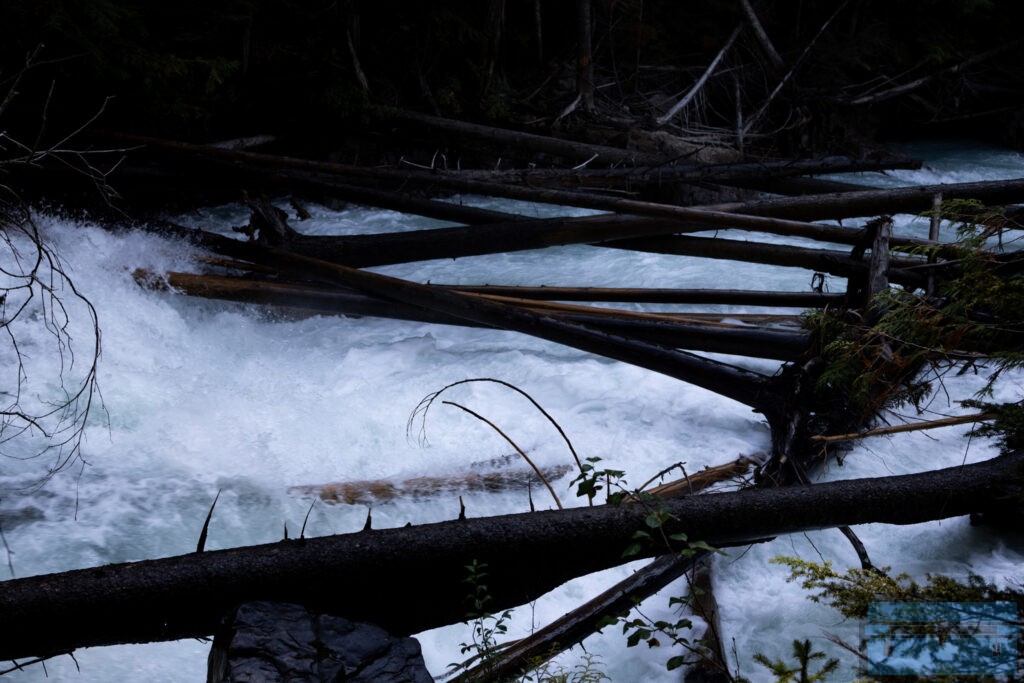
I chose to walk the easy manicured park trail to Kinney Lake. This section of the Berg Lake Trail is about 7 kilometers parallel to an icy, fast running mountain river.
The trail has been so nicely restored that I only needed trail runners instead of even a light hiking boot. And I managed to march along at about 10 minutes per kilometer, especially on the way back to the parking lot after having taken in all the viewpoints on the way into the park through a heavily treed area.
GLACIER RIVER WATER
Don’t get too close to the glacier fed river, which runs fast and cold. The white water rolls over in rapid formation because the riverbed is filled with boulders more than likely left there from the last ice age when the glaciers receded until ending up at the place the glaciers rest today.
THE PARK
I managed to get in and out of Kinney Lake without hauling a lot of water and energy snacks. But you know, I should have taken in at least one sports bottle of water and some nice treats to have at the rocky mountain lakeside.
Having said that, Valemount is not too far away. And that appetite and thirst developed by the end of the day materialized at the trailhead, making me glad that I had decided to book the hotel room in town for one more night.
The park also provides an information center. And just near the Yellowhead Highway 16 park exit is a cafeteria and gift shop. I had a medium coffee and a chocolate bear square to temporarily refuel until I could get to the pizzeria in downtown Valemount, where I had planned to eat since the day before when scouting out the small town core.
You are not alone here, or along the park trail to Kinney Lake either. Many visitors were taking the opportunity for a hot meal, likely replacing lunch made in the RV while the opportunity for a restaurant meal presents itself.
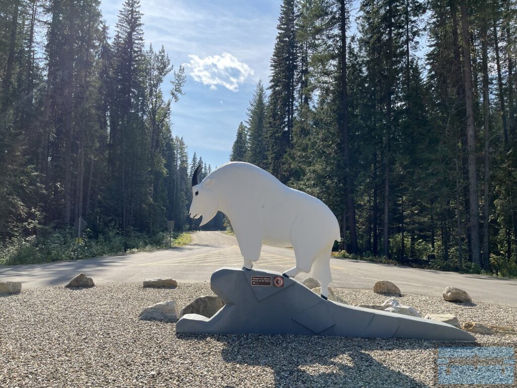
So many people in the area provides the added benefit of keeping the wildlife away. The bears and the goats don’t like having to listen to people chatter. As a result, the groomed trail into the park is relatively safe.
I did encounter the sound of two woodpeckers communicating back and forth to each other in the early afternoon during my return journey, still near the Kinney Lake area.
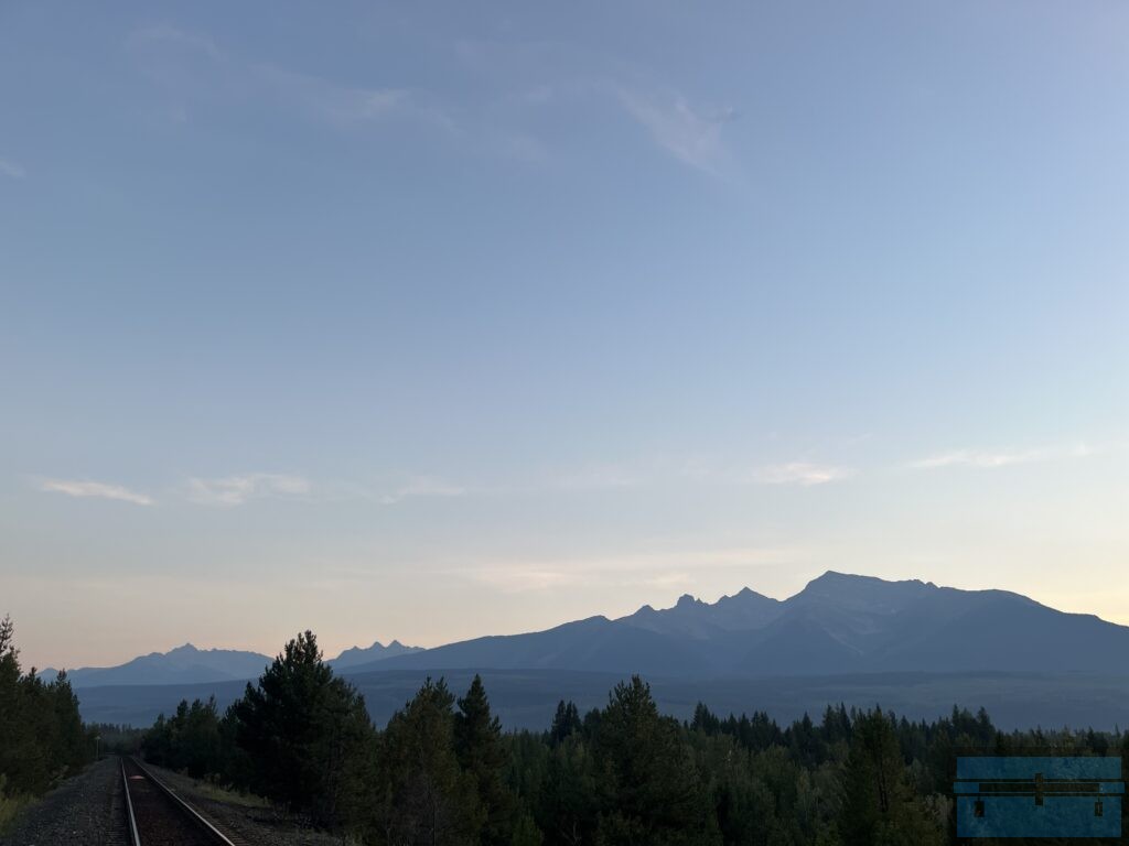
I spent two nights in Valemount, hanging out after dinner, taking pictures of the mountains during sunset.
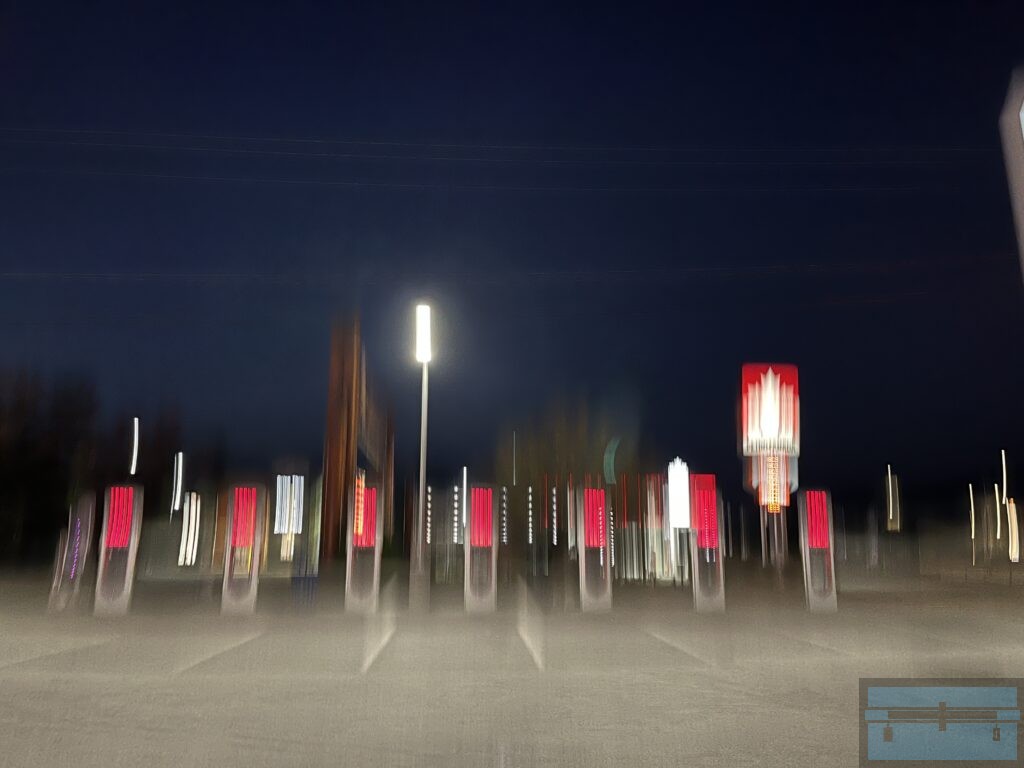
I did look around a little bit, at least enough to notice the seven unit electric vehicle charging station at one of the gas stations.
I decided to drive home continuing in a loop toward Kamloops. The well maintained highway drive follows the North Thompson River toward the junction with the Fraser River. This way home is a nice and easy downhill drive with speed limits of up to 120 kilometers per hour.
I did get home safe enough, with a bit of an appetite for a grocery store steak to refuel my cramping tired legs, worn out from the 14 km round trip hike around Kinney Lake and back, and then the 755 km long, seven hour drive home.
I am looking forward to returning next summer for the 23 km, 2 day backcountry adventure inside the beautiful, well groomed Mount Robson Provincial Park, once the restoration of the entire Berg Lake Trail has been completed.
